What shapes contaminated soil removal in Emerald
Rail, river and irrigation
Emerald was surveyed in 1878 and became a transport hub for freight to and from Clermont and Springsure. It lies on the Nogoa River, a tributary of the Fitzroy. Selma Weir started irrigation works in 1953, and Fairbairn Dam opened in 1972. That water supply let the cotton industry grow, and cotton is processed at the Yamala Cotton Gin.
Mining growth and floodwater
Mining ventures in the 1970s and 1980s used Emerald as a dormitory town. Coal mining was still the top industry at the 2021 Census at 16.6% of workers. Fairbairn Dam overflowed on 19 January 2008 for the first time in 17 years, cutting one side of town off from the other, and in 2010 to 2011 Emerald was encircled by floodwaters. Fuel storage, chemical stores and flood-moved fill all turn up on sites here.
Why timing matters here
Rented homes made up 43.2% of Emerald dwellings at the 2021 Census and the median age was 32, which points to a young and mobile population. Sales, lease changes and rebuilds are the moments when buried contamination tends to surface. That is why contaminated land remediation Emerald owners take on can begin with a sale or a rebuild.
Our approach on Emerald jobs
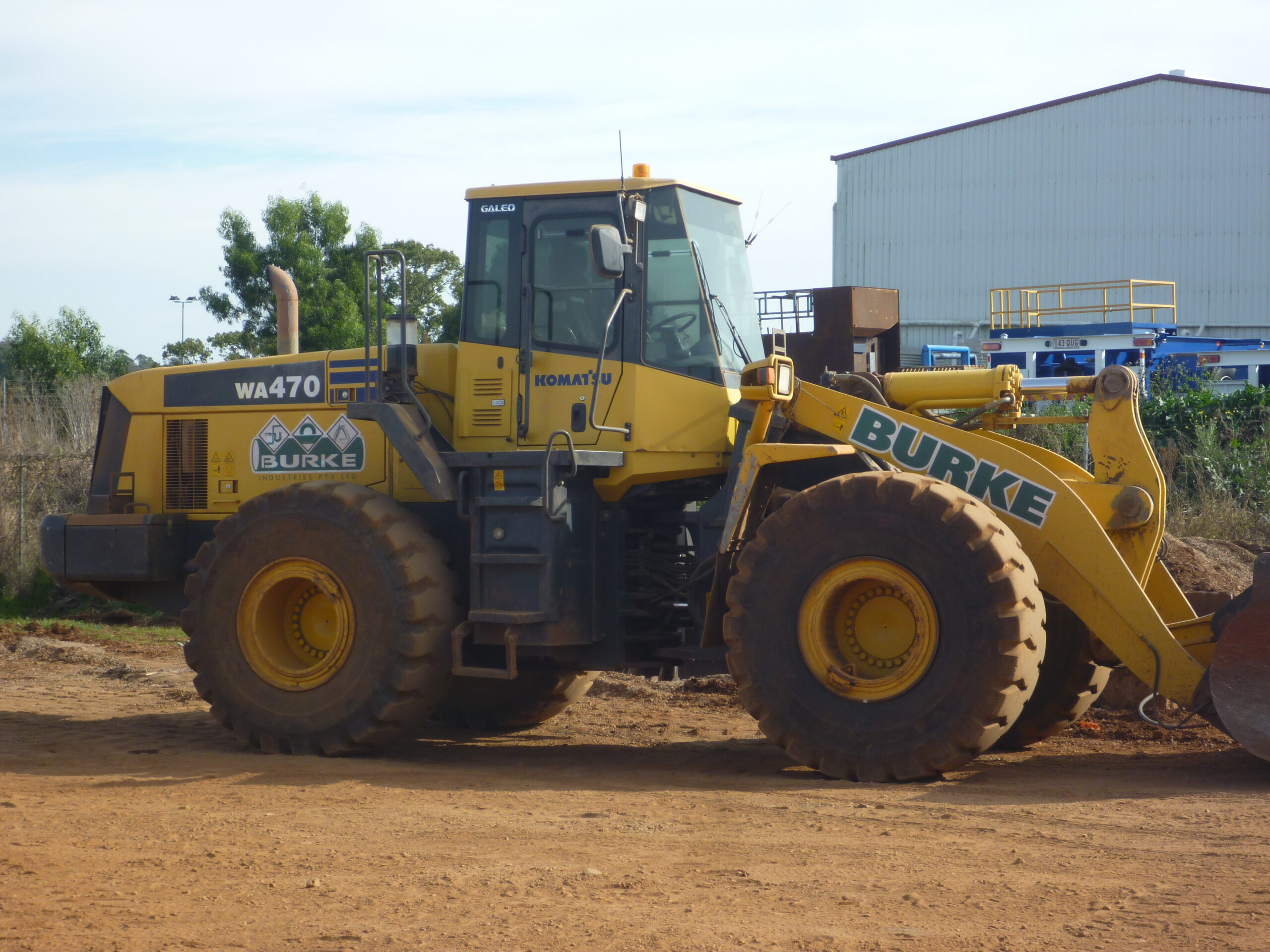
A suitably qualified person prepares the investigation, and we work from their findings. Our crews then excavate in stages, segregate affected soil, load it for licensed disposal and backfill as each section is cleared. That rhythm suits contaminated soil removal in Emerald, where a site can keep operating around us.
- 16.6% Coal mining share of Emerald employment, 2021 ABS QuickStats
- 43.2% Emerald dwellings that were rented, 2021 Census ABS QuickStats
- 1972 Year Fairbairn Dam opened south of Emerald Wikipedia
Sources: ABS 2021 Census QuickStats, Emerald (Qld), Queensland Places, Emerald, Wikipedia, Emerald, Queensland